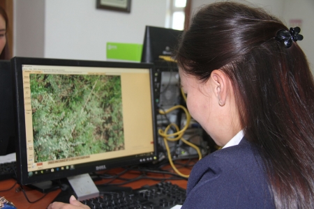
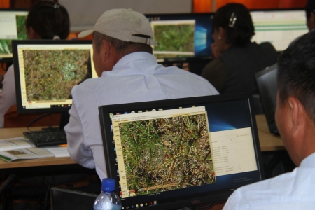
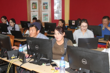
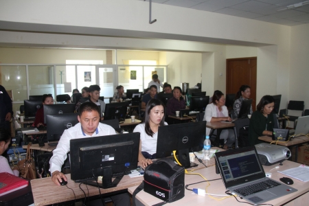
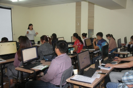
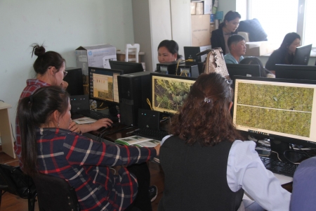
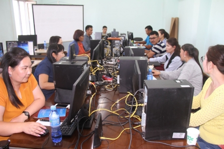
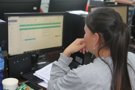
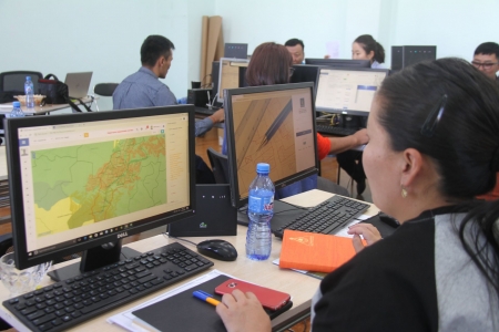
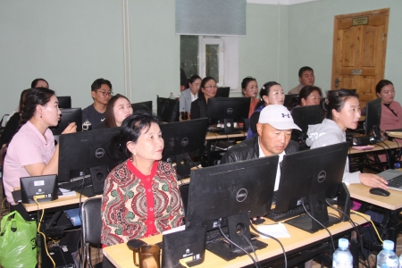
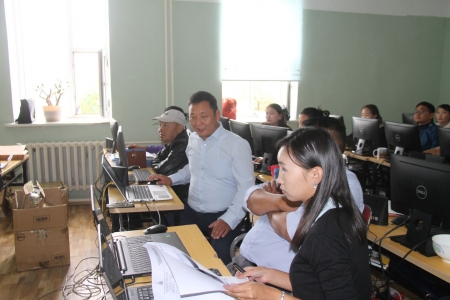
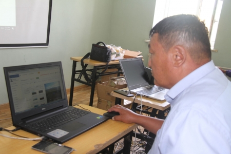
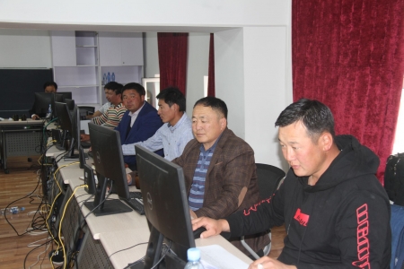
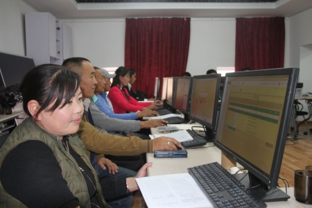
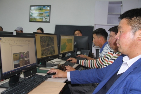
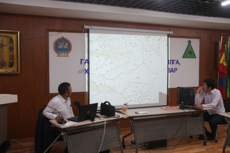
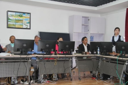
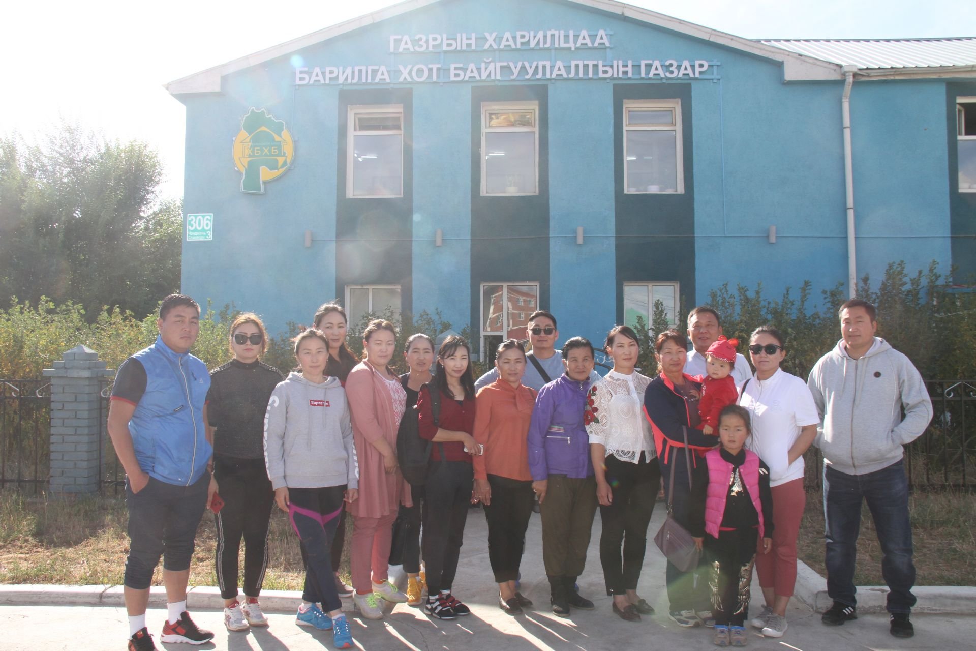
NFPUG organized the training to develop 2019 Pastureland photo monitoring maps and integrate the results into a unified system. The training will allow participants to process 2019 Pasture Photomonitoring images in Sample Point software and identify pasture plants at the farm group level. The training was provided on how to enter digital data into the ALAMGAC Web system. Herders uploaded the 2019 news on the agency's server through the Web system. Through this training, the quality of photo monitor data processing was improved, and the ability to evaluate and report the results using pastureland change models was acquired.
Participants:
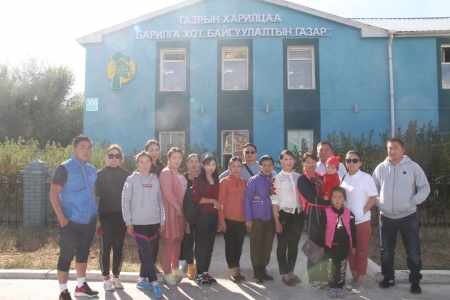
Participants from local specialist Darkhan-Uul aimag 3, Khuvsgul aimag 23, Tuv aimag 27, Arkhangai aimag 19, Bayankhongor aimag 19, and 24 Zavkhan aimag participated in the training. In a total of 115 specialists.
Organizers:
- Agency for Land Administration and Management, Geodesy and Cartography
- Green Gold Animal Health project, Swiss Agency for Development
- Pasture Research Laboratory, School of Agro-Ecology, University of Agriculture
- Department of Land Affairs, Construction and Urban Development of Darkhan-Uul, Khuvsgul, Tuv, Arkhangai, Bayankhongor and Zavkhan aimags
- Mongolian national federation of pasture users group
The trained specialists were able to perform the following tasks:
- Record general information of photo monitoring points (place name, coordinates, etc.)
- Include four photos of the monitoring area and nine photos of the cover in the database for a total of 13 photos
- Sample point software developed and classified cover data by plant group and entered into the database for each monitoring point.
- Enter the number of livestock in the pasture
- Calculation of pasture condition, natural zones, belts, surface shape, vegetation cover data and load capacity on the program
